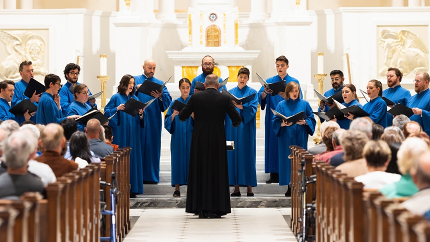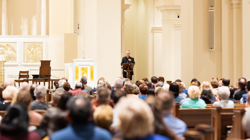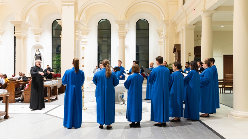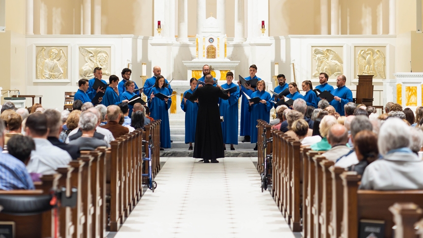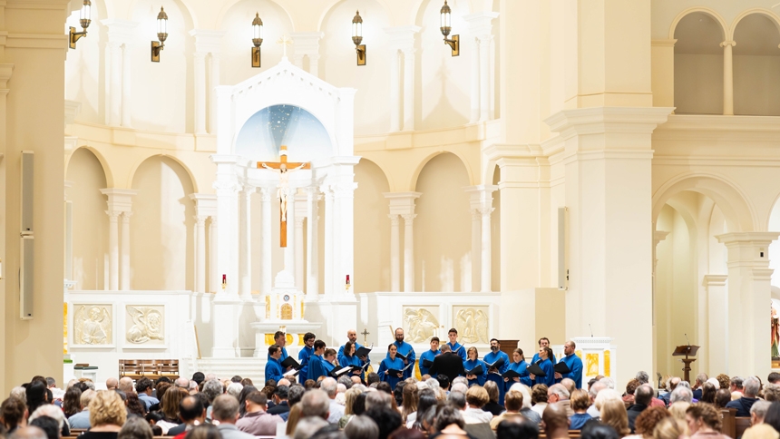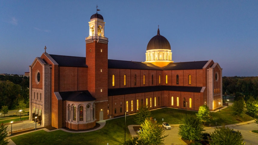
RALEIGH – The Diocese of Raleigh hosted a Centennial Concert Oct. 25 at Holy Name of Jesus Cathedral. The event was part of an ongoing celebration of the founding of the diocese in 1924.
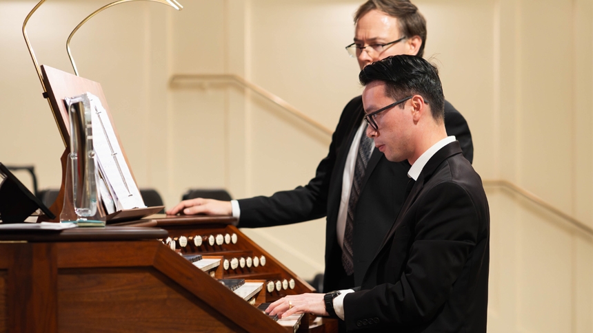
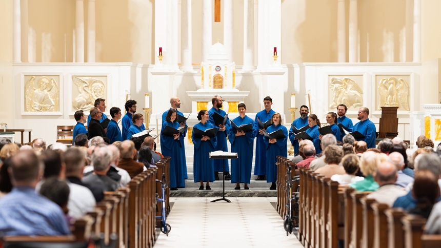
The concert featured conductor Peter Latona and 16 professional singers of the Choir of the Basilica of the National Shrine of the Immaculate Conception in Washington, D.C. They were joined by organists Ben La Prairie and Andrew Vu, also of the National Shrine.
The hour-long program included Marian music, which focuses on Mary, as well as an American hymn, American spiritual and Southern hymn. Each selection was chosen to reflect the spirit and geography of the diocese.
“The cathedral itself is spectacular, and the acoustic is just perfect for both singing and for the organ,” said Latona. “What we put together was a variety of different styles of sacred choral music. The overall theme and the main piece that begins the program is Laudibus in sanctics, praise the Lord in his holy place.”
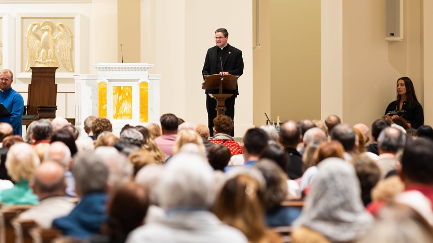
During his remarks, Bishop Luis Rafael Zarama welcomed people to the event and encouraged them to let their hearts become part of the celebration.
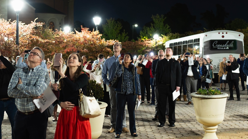
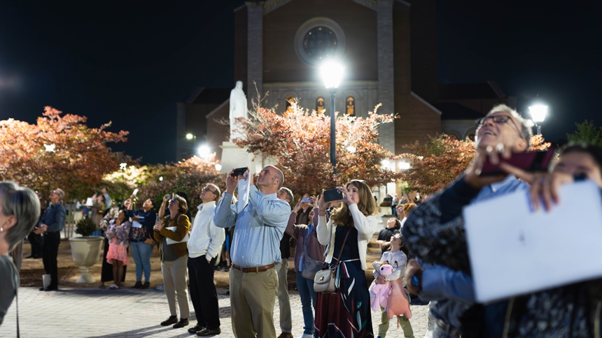
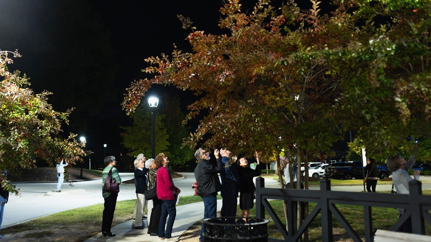
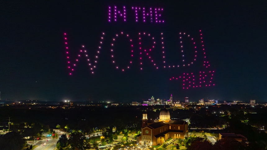
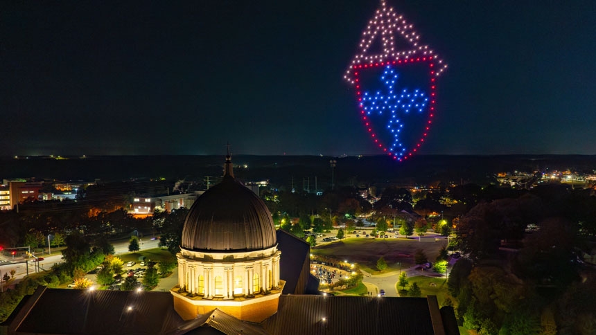
Bishop’s words were not only heard, but they were also seen – more than 100 feet in the sky.
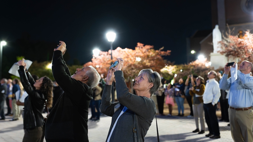
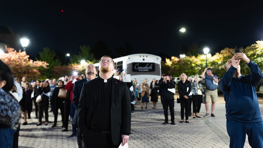
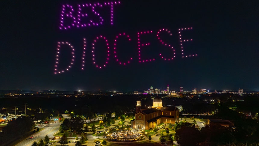
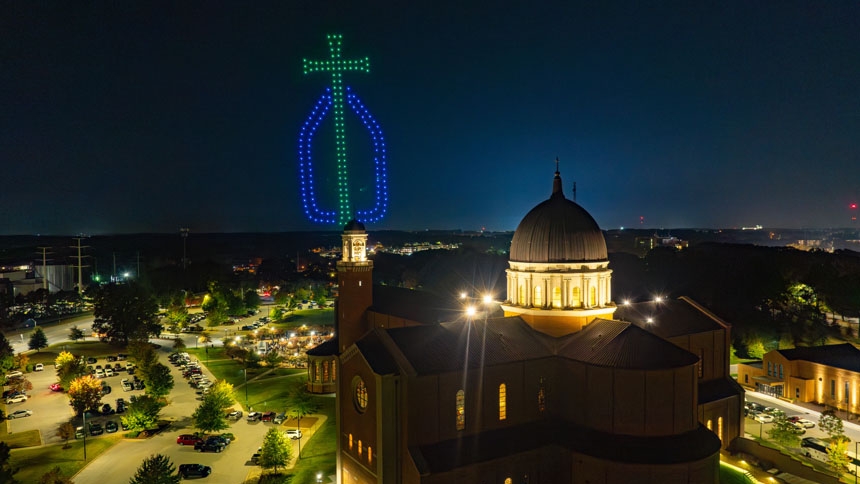
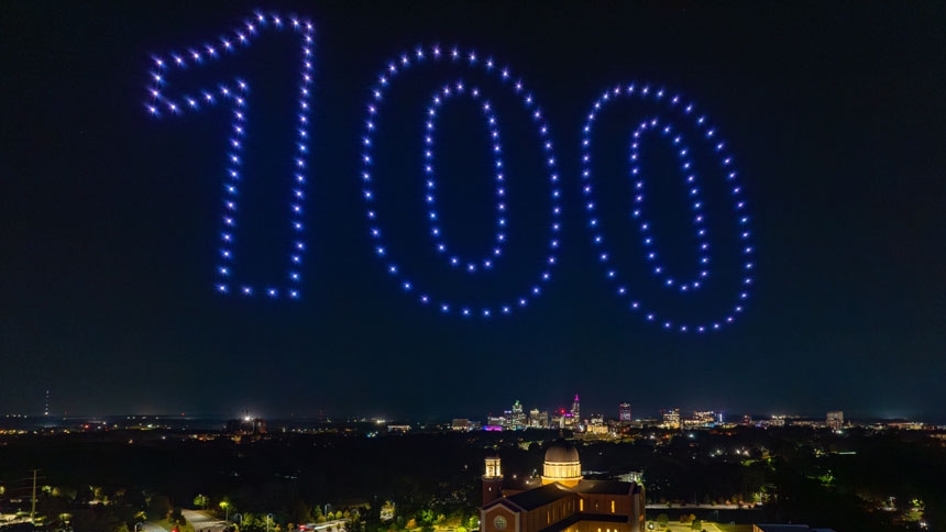
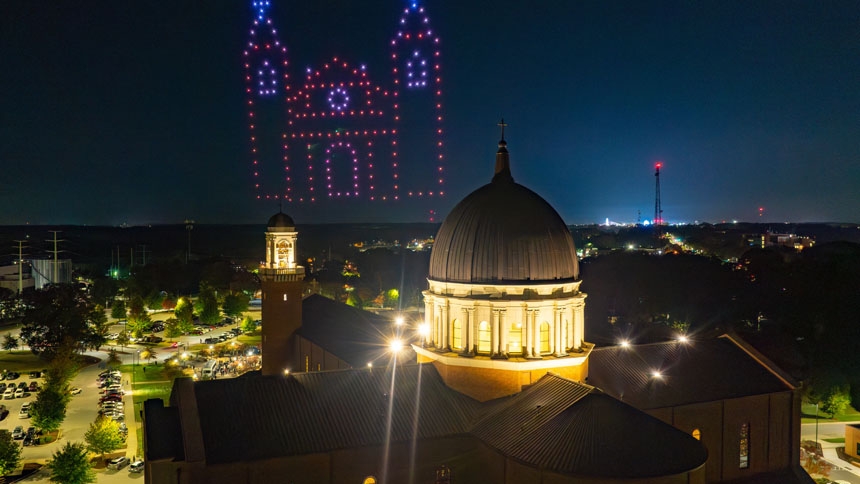
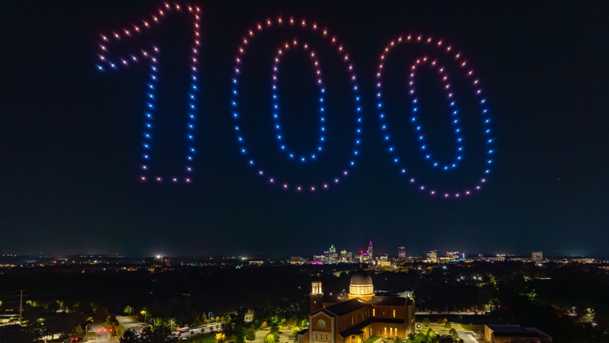
After the concert, a drone light show, planned by the centennial committee and produced by Drone Studios, was a surprise for attendees. The show featured the bishop’s words “the best diocese in the world,” which he frequently says about the Diocese of Raleigh, where he has served since 2017.
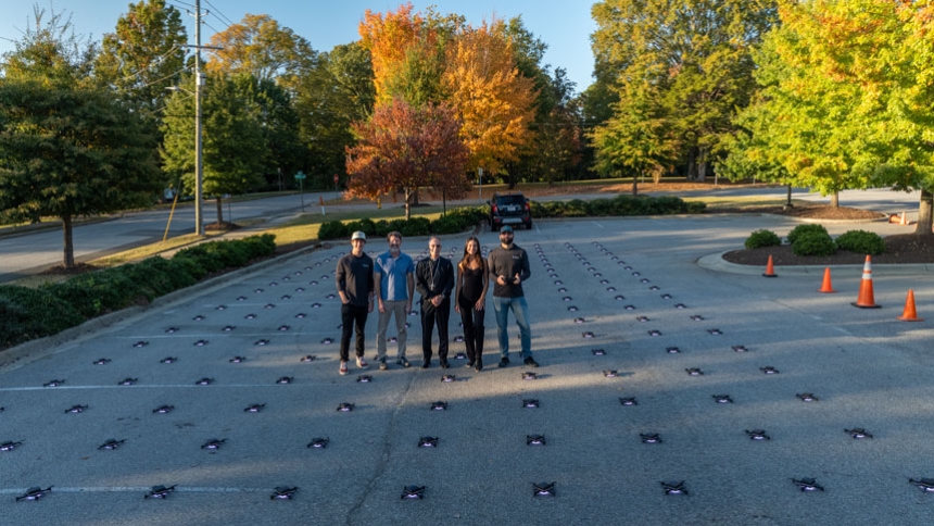
The drone show consisted of 200 drones, said Jeff Stein of Drone Studios, which is based in California. “Each drone can do the full RGB spectrum, so any color you can image,” he said. “Basically every drone acts as a pixel … creating 3D [and 2D] animations to tell the story of the diocese.”
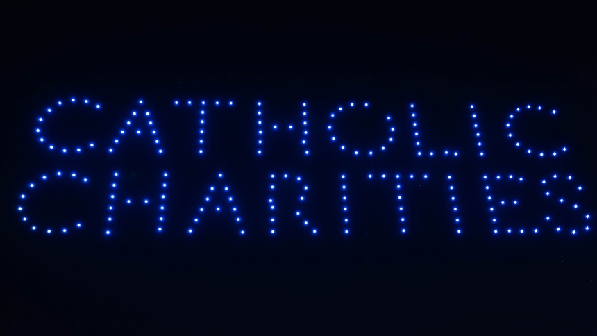
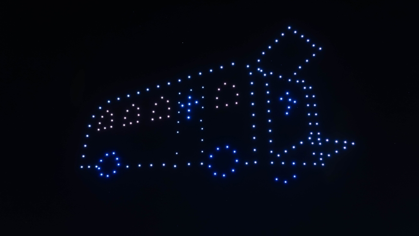
Along with bishop’s words and the numeral 100, other pictures in the sky included a chalice, the logo of Catholic Charities and a motorcoach, or bus, to tell the story of when Raleigh was a mission diocese and the bus was a traveling chapel on wheels that would visit rural areas for Mass in the 1950s.
“The drones … they’re really, really good about following animation files to go to specific GPS coordinates at a very specific time and place and then change colors at a very specific time,” said Seth Clark of Drone Studios. “It’s basically connect-the-dots in the sky.”
Video
Photos
Photos by Grace Hoffman; drone photos by Drone Studios. Click or tap photos to view full images.


